Pocomoke City officials, Planning and Zoning Commission members, and community stakeholders met May 26 to review findings from a two-year NOAA-funded resilience assessment and identify priorities for future flood mitigation efforts.
The work session was part of the NOAA Effects of Sea Level Rise (ESLR) Program, a partnership involving the Maryland Department of Natural Resources, The Nature Conservancy, George Mason University, and Resources for the Future. The project was designed to help Pocomoke City evaluate flood risks, nature-based solutions, and future resilience investments. The assessment focused heavily on community input gathered through a Community Advisory Committee and a series of workshops held throughout the project.
Project representatives presented five proposed resilience pathways for the city:
- Addressing long-term flooding issues in Cypress Park
- Digitizing stormwater infrastructure and drainage data
- Identifying additional green infrastructure opportunities
- Improving transportation connectivity and accessibility during flooding events
- Building community leadership and engagement around resilience efforts
Throughout the presentation, project staff emphasized that obtaining accurate, digitized stormwater infrastructure data is a critical first step. Existing flood models were developed without a complete digital inventory of the city’s drainage system, meaning some flood predictions may be incomplete or inaccurate. Acquiring that data would improve future modeling efforts, help identify priority projects, and strengthen future grant applications.
Consultants identified several organizations that could assist the city with those efforts, including the Eastern Shore Regional GIS Cooperative and the Center for Watershed Protection, both of which may be able to provide technical assistance at little or no cost.
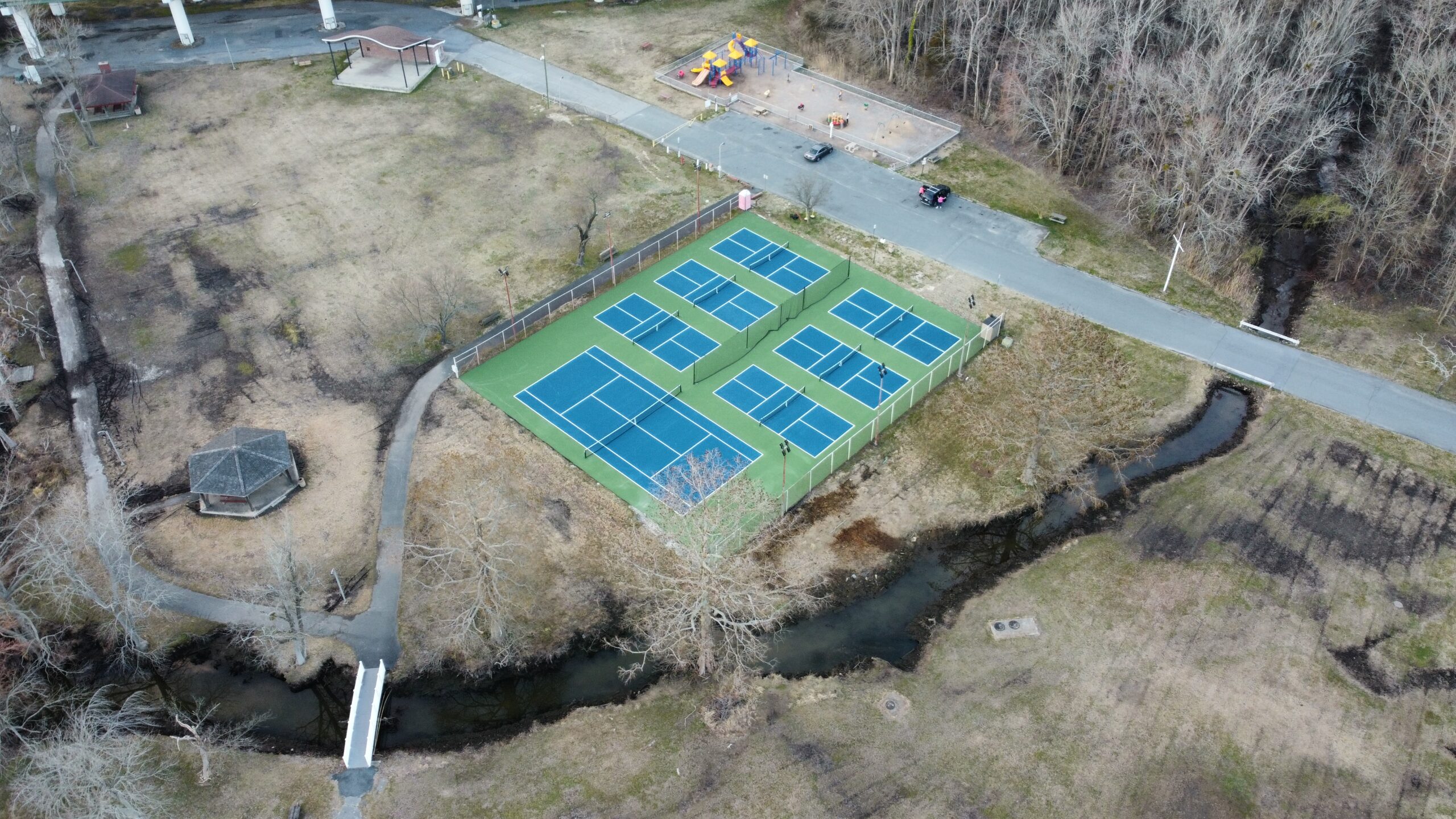
While flooding throughout the city was discussed, much of the conversation centered on Cypress Park, which the assessment identified as one of Pocomoke’s most important community assets. The waterfront park serves as a recreation area, event venue, gathering space, and potential driver of tourism. However, researchers found that flooding increasingly limits the park’s use and threatens its long-term viability.
According to the assessment, Cypress Park has historically served as a focal point for community events and recreation. Researchers estimated that flood-related impacts to recreation at the park represent approximately $3.9 million annually in lost recreational value under current conditions.
The assessment also found that previously proposed solutions, such as raising portions of the park, could reduce some flooding impacts but may provide only temporary benefits as sea levels continue to rise.
Beyond flood mitigation, the broader resilience study focused on the community’s long-term vision for growth. Community Advisory Committee members described a desire to see Pocomoke strengthen its role as a regional destination by building on its riverfront, recreational amenities, tourism opportunities, and local businesses while maintaining its small-town character.
Researchers noted that many of the city’s key economic assets, including downtown, Walmart, and Hardwire, remain relatively resilient under future flood scenarios. The study concluded that flooding presents challenges, but strategic investments in infrastructure, recreation, and accessibility could help position Pocomoke for future economic development.
Community members attending the work session raised questions about public participation and how residents could be encouraged to engage in future resilience planning efforts. Discussion included potential partnerships with schools, service-learning opportunities for students, and other approaches to building long-term community involvement.
At the conclusion of the meeting, participants voted on the proposed resilience pathways. Two priorities emerged clearly above the others: digitizing the city’s stormwater infrastructure data and addressing long-term flooding in Cypress Park.
Project staff indicated those two priorities will receive additional focus as final recommendations are developed. The NOAA-funded assessment is expected to conclude in early July, with final resilience pathway recommendations intended to help guide future planning, grant applications, and flood mitigation efforts in Pocomoke City.
The project’s results are published here: https://storymaps.arcgis.com/stories/0638e5e7beea4a11ba7e277ce87ef7e2
Editor’s Note: Pocomoke City Arrowhead Editor Chip Choquette contributed to this study as a member of the Community Advisory Committee.